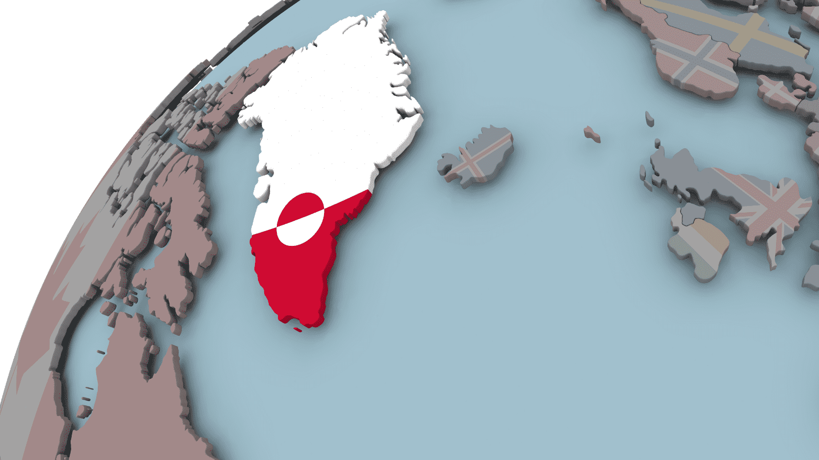


New research by the University of Leeds found that Greenland’s rapidly melting ice raises global flood risks. In the past forty years, the world’s ice sheets have disappeared at alarming rates due to climate change. The increasing intensity and frequency of ice melting events raise sea level and flood concerns worldwide.
Scientists have documented the loss of three and 3.5 metric tonnes of ice from Greenland’s surface in the past ten years. All that ice melted into the ocean, which could theoretically engulf the UK with about fifteen meters of water. It could also swamp the whole city of New York with 4500 meters of melted ice.
The study by the University of Leeds marks the first to observe ice sheet runoff from space using satellite data. The journal Nature Communications published these findings on November 1, 2021.
The team discovered that Greenland’s melting ice increased by 21% throughout the past forty years. Additionally, they found that the meltwater runoff behaves 60% more erratically from one summer to the next. The scientists say this variability results from widespread fluctuations in atmospheric circulation due to global warming.
What the Expert Says
Lead author Dr. Thomas Slater, a Research Fellow in the Centre for Polar Observation and Modeling at the University of Leeds, said the following:
“As we’ve seen with other parts of the world, Greenland is also vulnerable to an increase in extreme weather events. As our climate warms, it’s reasonable to expect that the instances of extreme melting in Greenland will happen more often — observations such as these are an important step in helping us to improve climate models and better predict what will happen this century.”
The European Space Agency (ESA) funded the research in its Polar+ Surface Mass Balance Feasibility project. They obtained measurements from the ESA’s CryoSat-2 satellite mission for the study.
Melting Ice in Greenland Raises Flood Concerns Worldwide

Their research revealed that global sea levels had risen one cm during the past decade due to melting ice from Greenland. One-third of this sea level rise occurred in the scorching summers of 2012 and 2019 alone. Scorching weather shattered previous ice melting records, marking the worst melting events in the past forty years.
Global sea level rise caused by melting ice raises concerns about coastal flooding and food insecurity. Many indigenous communities depend on marine ecosystems in the Arctic Ocean, but melting ice could disrupt food chains. Additionally, ice loss could alter ocean and atmospheric circulation patterns, which would impact global weather.
In the last ten years, meltwater runoff from Greenland averaged around 357 billion tonnes per year. In 2012, melting ice broke a new record at 527 billion tonnes. Atmospheric pattern changes led to hot air sitting over the majority of the ice sheet. The 2012 average amounted to over twice the 2017 runoff levels of 247 billion tonnes.
Experts say that extreme weather events have caused these large-scale fluctuations in melting ice. Heatwaves continue to the intensity and occur more frequently, leading to massive ice loss worldwide, especially in Greenland. In fact, studies have shown that the Arctic is warming three times faster than the rest of the planet. Even more worrisome, it rained on the island for the first time in recorded history this past summer.
Dr. Slater said: “There are, however, reasons to be optimistic. We know that setting and meeting meaningful targets to cut emissions could reduce ice losses from Greenland by a factor of three, and there is still time to achieve this.”
How Satellites Will Improve Data on Melting Ice
The scientists said Greenland’s melting ice observations from space could help make climate models more accurate. Better simulations of ice sheet melting will improve predictions on sea level rise moving forward. As Greenland’s ice continues to disappear, it’s crucial to understand how it will impact extreme weather.
Study co-author Dr. Amber Leeson, Senior Lecturer in Environmental Data Science at Lancaster University, said:
“Model estimates suggest that the Greenland ice sheet will contribute between about 3 and 23 cm to global sea level rise by 2100. This prediction has a wide range, in part because of uncertainties associated with simulating complex ice melt processes, including those associated with extreme weather. These new spaceborne estimates of runoff will help us to understand these complex ice melt processes better, improve our ability to model them, and thus enable us to refine our estimates of future sea level rise.”
Lastly, the research proves that satellites can instantly provide accurate estimates of melting ice in the summer months. The findings solidify scientists’ efforts to enhance Greenland’s hydropower output. It also includes support for Europe’s launch of the CRISTAL mission, the successor of CryoSat-2. The European Space Agency plans to launch the mission in 2027 to “measure and monitor sea-ice thickness, overlying snow depth, and ice-sheet elevations.”
ESA’s CryoSat mission manager, Tommaso Parrinello, said:
“Since it was launched over 11 years ago, CryoSat has yielded a wealth of information about our rapidly changing polar regions. This remarkable satellite remains key to scientific research and the indisputable facts, such as these findings on meltwater runoff, that are so critical to decision-making on the health of our planet.
“Looking further to the future, the Copernicus Sentinel Expansion mission CRISTAL will ensure that Earth’s vulnerable ice will be monitored in the coming decades. In the meantime, it is imperative that CryoSat remains in orbit for as long as possible to reduce the gap before these new Copernicus missions are operational.”

Final thoughts on how scientists measured melting ice from space for the first time
Prior studies on melting ice have used regional climate models to provide estimates. University of Leeds researchers utilized satellite data to produce concrete measurements on Greenland’s meltwater runoff for the first time. They found that in the past forty years, runoff increased by 21%, much of this occurring in the last decade.
Current models show that melting icebergs in Greenland alone could lead to a 3-23 cm rise in global sea levels by 2100. This flooding would devastate islands and coastal cities around the world. However, scientists remain optimistic that we can curb the worst effects of climate change by reducing emissions.